Landmark · Medina
Médina d’Essaouira (site UNESCO)
Essaouira’s medina has been on UNESCO’s World Heritage List since December 2001 (property no. 753, criteria (ii) and (iv)). The property covers 56.7 ha in two parts, the medina and the islands. UNESCO listed its 18th-century fortified port plan. In 2025 the Committee raised concern over the Mellah and asked Morocco for a report by 1 December 2026.
updated on
What UNESCO listed, and why
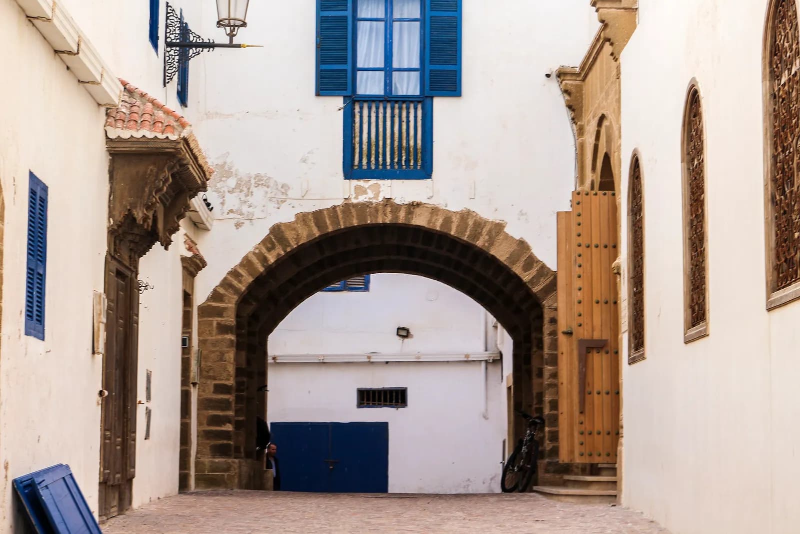
The World Heritage Committee listed the “Medina of Essaouira (formerly Mogador)” at its 25th session, held in Helsinki from 11 to 16 December 2001. It cited two cultural criteria. Criterion (ii) rests on a late 18th-century fortified port built to a European model in North Africa. Criterion (iv) rests on the town plan, credited to a French architect shaped by Vauban’s work at Saint-Malo.
The property covers 56.7 ha in two parts: the medina and the Essaouira archipelago off the beach. UNESCO publishes no area for the medina alone or for its buffer zone. The figures circulating for either appear on no official page we have read.
The 2001 record notes doubts from several delegates, among them recent additions in ill-chosen materials. ICOMOS judged that those earlier losses did not undermine the property’s value. Our view: UNESCO listed a town plan, not a backdrop. Look at how the streets line up and how the walls run before you look at the shopfronts.
Reading the plan on the ground
UNESCO’s entry gives no founding year. Its short description says late 18th century, its statement of value mid-18th century. The evaluation by ICOMOS, the advisory body that reviewed the nomination in September 2001, dates the present town to 1765. The 2012 map-guide published by the Junta de Andalucía with the town hall dates the rebuilding to 1760–1764. Two sources, two dates: we use 1765, as our other pages do.
Both documents name the planner as Théodore Cornut. ICOMOS describes him as a fortifications engineer from Avignon, the 2012 guide as a former fortifications draughtsman from Roussillon. He was dismissed in 1767. The Sea Gate (Bab el Marsa) appears on his plan but was finished after him by Ahmed El Alej. It carries the date 1184 AH. By our conversion that year ran from April 1770 to April 1771, while the 2012 guide gives 1769–70. The gate stands 8 m high and 10.60 m wide.
Allow two to three hours without the museums. Our view: start at that gate on the port side, as it dates the plan better than any text. Then follow the rampart walk of the Skala de la Ville and head north to Bab Doukkala. Each of the walled town’s landmarks has its own page, with hours and prices.
Neither the commune nor the urban planning agency publishes an official downloadable map, as far as we could find on 16 October 2026. The 2012 map-guide is still online as a PDF on the Junta de Andalucía website. To walk, eat or stay in these streets rather than read them, see our guide to the medina neighbourhood.
Where the property stands in 2026
At the time of the nomination, only the fortifications had legal protection. The ICOMOS evaluation records them as a listed historic ensemble since 1924. The medina’s development and safeguarding plan (PASME) was approved by decree in 2021.
The complementary rehabilitation programme for 2019–2023 is worth about 300 million dirhams. Morocco’s April 2023 report lists the restoration done since 2012: walls, gates and bastions, the Skala du Port, the Simon Attia synagogue, three mosques and seven zawiyas. The Portuguese church was then nearly finished. No official source we have read gives the number of projects or how far they have got, and we have found no official announcement that the programme is complete.
In 2025, Committee decision 47 COM 7B.177 voiced concern at the decay of the Mellah. It asked Morocco to settle ownership issues there and set a rehabilitation strategy. An updated report is due by 1 December 2026. Our view: do not skip the Mellah, as it is the part of the property the 2025 decision names. Our page on the Mellah’s heritage sets out what you can visit there.
See on the map
The map loads tiles from OpenFreeMap. · Open in Google Maps
Frequently asked questions
Is Essaouira medina a UNESCO World Heritage Site?
Yes, since December 2001, under criteria (ii) and (iv). The 1997 date found in some articles is wrong: the listing was decided at the Helsinki session in 2001.
Do you have to pay to enter Essaouira medina?
No, it is a lived-in neighbourhood with no ticket and no opening hours. Some monuments inside charge their own entry, including the Skala du Port.
Who designed Essaouira medina?
UNESCO refers to a French architect influenced by Vauban without naming him. The 2001 ICOMOS evaluation and the 2012 map-guide name Théodore Cornut, an engineer from Avignon, dismissed in 1767 according to the guide.
Why was Essaouira called Mogador?
UNESCO traces the name to the Phoenician “Migdol”, a small fortress. The name survives in the property’s official title, “Medina of Essaouira (formerly Mogador)”.
How long do you need to visit Essaouira medina?
Allow two to three hours on foot to follow the plan from the gates to the ramparts, by our estimate. Add an hour for the Mellah and its synagogues.
Where can I find a map of Essaouira medina?
We found no official downloadable map as of 16 October 2026. The 2012 map-guide, published by the Junta de Andalucía with the town hall, is still online as a PDF.